Geoelectrical Survey Services for Subsurface Layer Identification

Reading Subsurface Conditions Through Electrical Currents

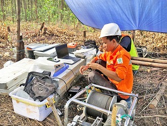
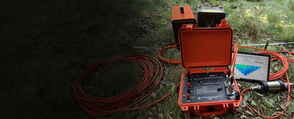
A geoelectrical survey is a geophysical method that uses electrical currents to measure the resistivity of soil and rock. This technique is applied to map subsurface structures without drilling, such as locating groundwater aquifers, detecting weak zones on slopes, and evaluating landfill sites or contamination.

Geoelectrical Services by BPL

Vertical Electrical Sounding (VES)
2D Electrical Resistivity Tomography (ERT)
Data Interpretation and Mapping
Geoelectrical Data Analysis

Our Advantages

Experienced Geophysics Expert Team
Latest Multichannel Equipment for Faster and More Detailed Data
Professional Interpretation by Experienced Technical Specialists
Suitable for groundwater, geotechnical studies, landfills, and other subsurface mapping applications

Need Subsurface Detection Without Drilling?

BPL’s geoelectrical services deliver fast, accurate results that can be directly applied to your technical decision-making.

Review Your Cart
0
Add Coupon Code
Subtotal